The Best Ecoregion Photo Spots around Horseshoe Bay Ferry Terminal in Canada
Explore Ecoregion pictures of Horseshoe Bay Ferry Terminal with the travel spots on a map
Download the Travel Map of Canada on Google Maps here
5 Ecoregion Spots of Horseshoe Bay Ferry Terminal on a Map
Pictures of Ecoregion on the interacive map of Horseshoe Bay Ferry Terminal
Download On Google Maps 🗺️📲Ecoregion Spots and Pictures around Horseshoe Bay Ferry Terminal
Discover popular destinations in Horseshoe Bay Ferry Terminal with their travel guides
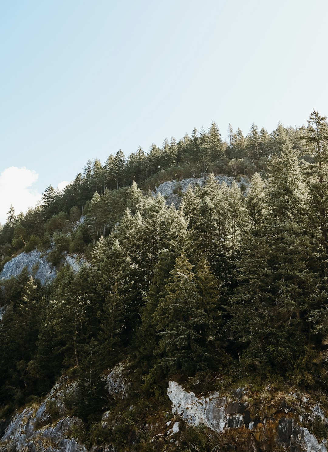
Horseshoe Bay Ferry Terminal
Read the Travel guide View on Google Maps
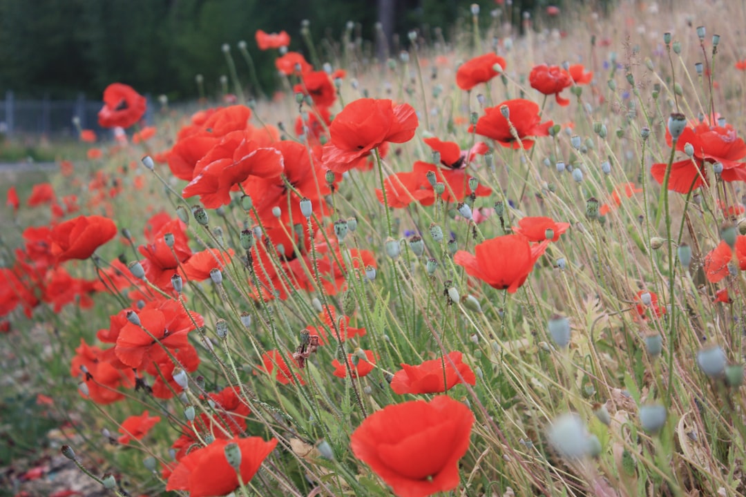
Mount Seymour
24 km away from Horseshoe Bay Ferry Terminal
Read the Travel guide View on Google Maps
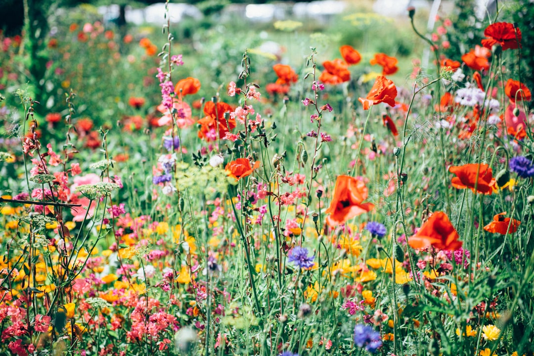
Coquitlam
36 km away from Horseshoe Bay Ferry Terminal
Read the Travel guide View on Google Maps
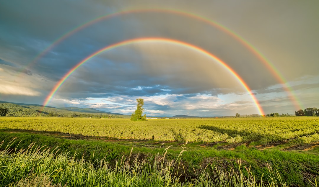
20063 McNeil Rd
46 km away from Horseshoe Bay Ferry Terminal
Read the Travel guide View on Google Maps
Chilliwack
99 km away from Horseshoe Bay Ferry Terminal
Read the Travel guide View on Google Maps
Book your Travel Experience in Horseshoe Bay Ferry Terminal
Discover the best tours and activities in Horseshoe Bay Ferry Terminal and book your travel experience today with our booking partners
Learn More about Horseshoe Bay Ferry Terminal
Find Hotels in Horseshoe Bay Ferry Terminal
Discover the best hotels around Horseshoe Bay Ferry Terminal, Canada and book your stay today with our booking partner booking.com